palestinian walks
triptych digital constructs, 2016


:: hills
:
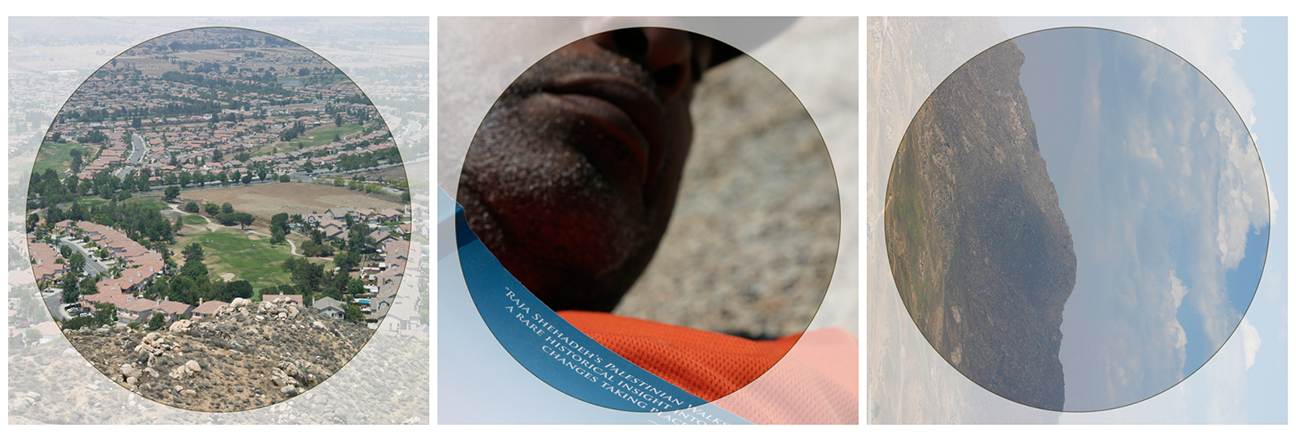
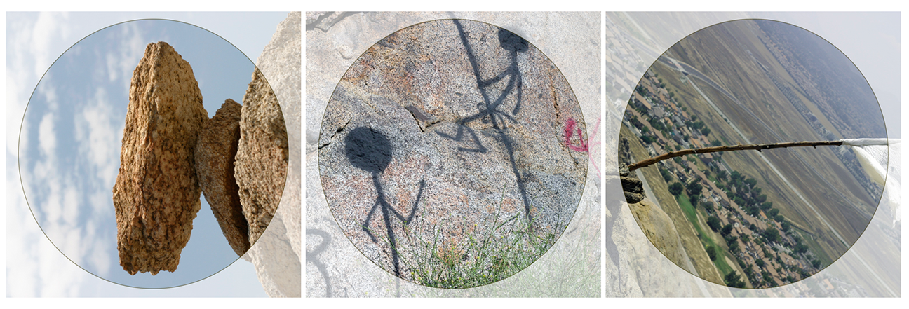
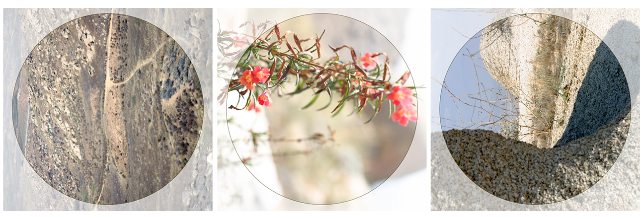
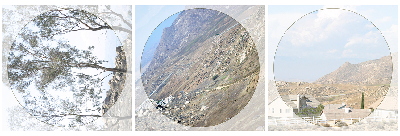
The land around Ramallah is varied but without large open areas. It is part of the Central Highlands that dominate most of the West Bank. The valleys closer to town are narrow. The hills are steep, sometimes precipitous. The are no mountains anywhere in sight, only hills.
:
The farther west you walk, the lower and rounder the hills become as the land descends gently down to the coastal plain. All you can see are hills and more hills, like being on a choppy sea with high waves, the unbroken swells only become evident as the land descends westward.
:
This landscape, we are told, was formed by the tremendous pressure exerted by tectonic forces pushing toward the east. It is as though the land has been scooped in a mighty hand and scrunched, the pressure eventually resulting in the great fault that created Jordan’s Rift Valley, through which runs the River Jordan.
:
The land seems never to have relaxed into plains and glens with easy-flowing rivers but has been constantly twisted and pressured to the point of cracking. It’s surface is not unlike that of a gigantic walnut. It was on the fertile plain of Marj Ibn A’mr (Jezreel Valley), which stretches below the Carmel mountains to Jenin in the West Bank and the breathtaking hills of Galilee, that most of the famous battles prior to the sixteenth century were fought and where the ruins of the fortifications and castles of the various invaders can still be seen.
:
This was also the route of traders and pilgrims. No invaders or travelers passed through the hills of Ramallah, however. The prize city of Jerusalem, ten miles to the south, could be reached from the narrow coastal plain through a valley that bypasses Ramallah by a few miles. The people in the villages were protected by their hills.
:
:
text: raja shehadeh, palestinian walks: forays into a vanishing landscape, 2007